Book Highlight: Just an Individual of a Species
March 5, 2025
ASM Science Journal: Bridging Mathematics and Industry for IR 4.0
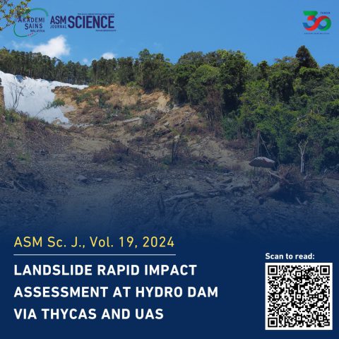
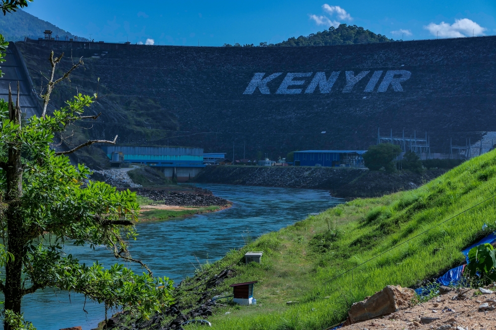
March 6, 2025A study published in the ASM Science Journal (Volume 19, 2024) highlights how drones (Unmanned Aerial Systems, UAS) and THyCAS (TNB Hydropower Catchment Analysis System) were used for rapid landslide assessment at Kenyir Dam. This research provides valuable insights into how technology-driven solutions can improve Malaysia’s disaster response and hydropower management.
The paper details how heavy rainfall in February 2022 caused a landslide at Kenyir Dam, damaging the power station, high-power transmission towers, and access roads. With satellite images blocked by dense clouds, drones were deployed to collect high-resolution data for damage assessment and mitigation planning.
THyCAS, a web-based GIS platform developed by MYSA in collaboration with Tenaga Nasional Berhad (TNB), was originally designed to monitor Malaysia’s hydropower dam catchment areas. The study highlights how THyCAS can also be used for:
- Monitoring hydropower dam safety
- Assessing flood risks and encroachment
- Planning disaster response
By integrating high-resolution drone images, satellite data, and elevation models, THyCAS provides real-time updates that improve disaster preparedness and management.
According to the research, the Kenyir Dam landslide was triggered by continuous heavy rain, leading to:
- Severe damage to the power station
- Collapse of five high-power transmission towers
- A blocked access road, cutting off entry to the dam
- Large driftwood and sediment buildup near the spillway
Since thick cloud cover prevented satellite imaging, the research team deployed drones to capture high-resolution images and videos of the affected area.
The study detailed how THyCAS was first used to plan the drone mission, determining:
- Safe flight paths
- Take-off and landing zones
- Mapping areas requiring urgent assessment
Once deployed, the drone collected detailed aerial images and videos, which were then processed to produce:
- Orthophotos – High-resolution images stitched together to create an accurate top-down view
- 3D Terrain Models – Elevation maps to assess land movement
- Full Motion Video (FMV) Data – GPS-tagged video footage for real-time location tracking
The journal paper highlights key discoveries made using the UAS and THyCAS systems:
- The landslide area covered 2.31 km²
- Driftwood and sediment accumulation measured 2.8 hectares near the spillway
- Blocked spillway posed a major flood risk
- Collapsed high-power transmission towers were identified using FMV data
This information was crucial for disaster management teams, helping them prioritise recovery efforts.
The study concludes that the combination of UAS technology and THyCAS is a powerful tool for disaster response, offering:
- Faster and more accurate damage assessment
- Better monitoring of hydropower infrastructure
- Improved decision-making for disaster risk reduction
The findings suggest that integrating machine learning and AI-based analysis with THyCAS could enhance early warning systems for landslides, floods, and dam failures.
This research, published in the ASM Science Journal, highlights the importance of using advanced technology in disaster management. By leveraging drones and smart mapping systems, authorities can respond to natural disasters more effectively, protecting infrastructure and communities.
For those interested in hydropower safety, disaster resilience, and geospatial technology, this study serves as a valuable reference on how innovative solutions shape the future of disaster response in Malaysia.


